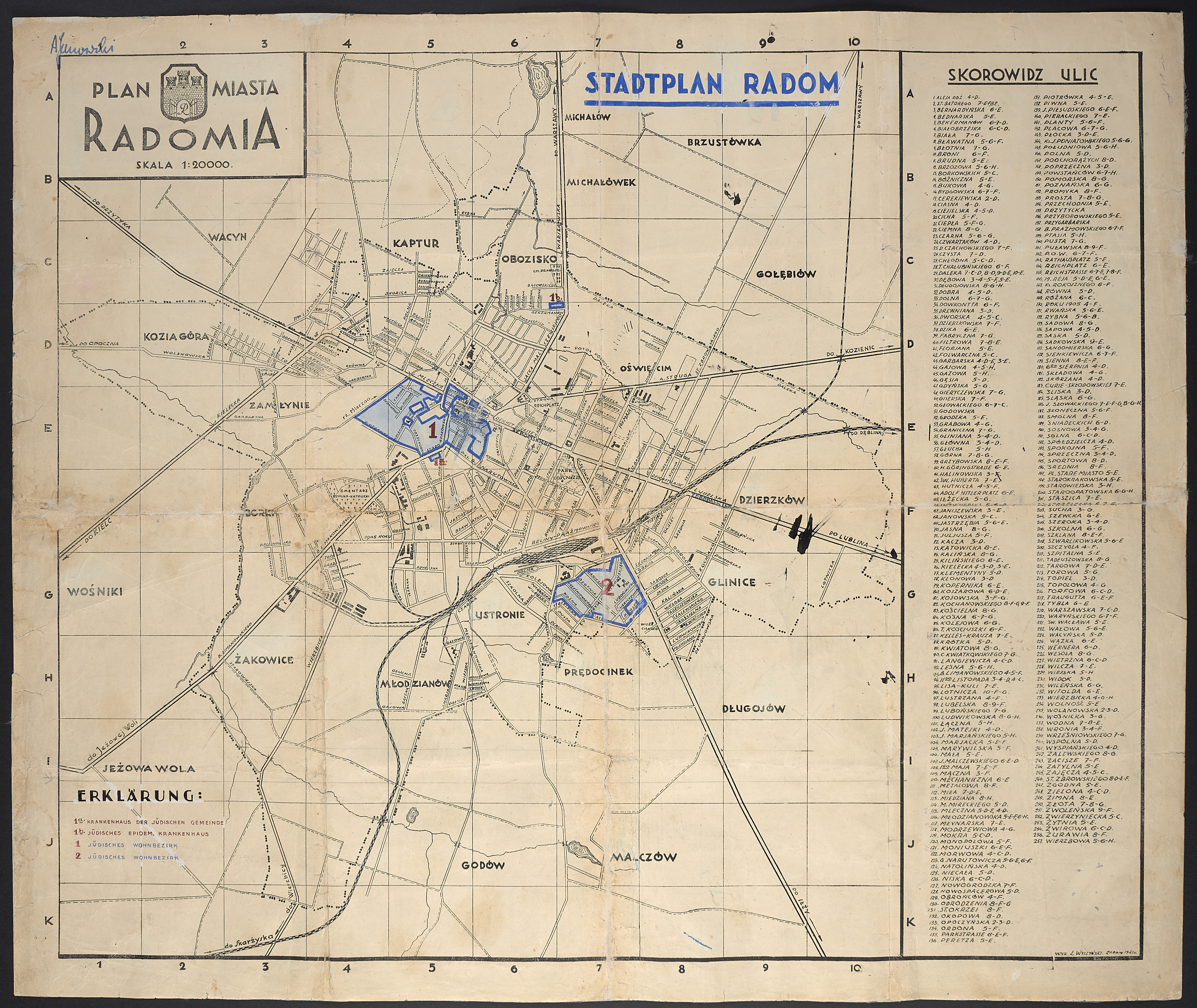
A pre-war map of Radom (a printed copy of a hand-made plan by Józef Orzechowski, city measurer) with German markings of the borders of the Jewish ghetto.
The ghetto in Radom was established at the beginning of April 1941, most probably German-language annotations and a drawing of the boundaries of two ghetto spaces are from this period.
The part of the ghetto marked as "1" is the so-called large ghetto, including, among others streets of the Old Town, before the war mostly inhabited by the Jews of Radom (a thriving Jewish community operated in the town from 1862, in 1939, 30,000 Jews lived in Radom, it was 1/3 of the town's population). Within the so-called large ghetto about 25,000 people were confined. Additionally, there is a commune hospital marked (1a) - just beyond the southern border of the ghetto, and (1b) a infectious diseases hospital - at Warszawska st., near the Orthodox cemetery.
Marked as "2" so-called small ghetto was established in Glinice, one of the poorest areas of the city. About 8,000 people were confined there.
In August 1942, most of the Jews from the Radom ghetto, 30,000, died in the gas chambers of the Treblinka II extermination camp, the rest was transported to Auschwitz.
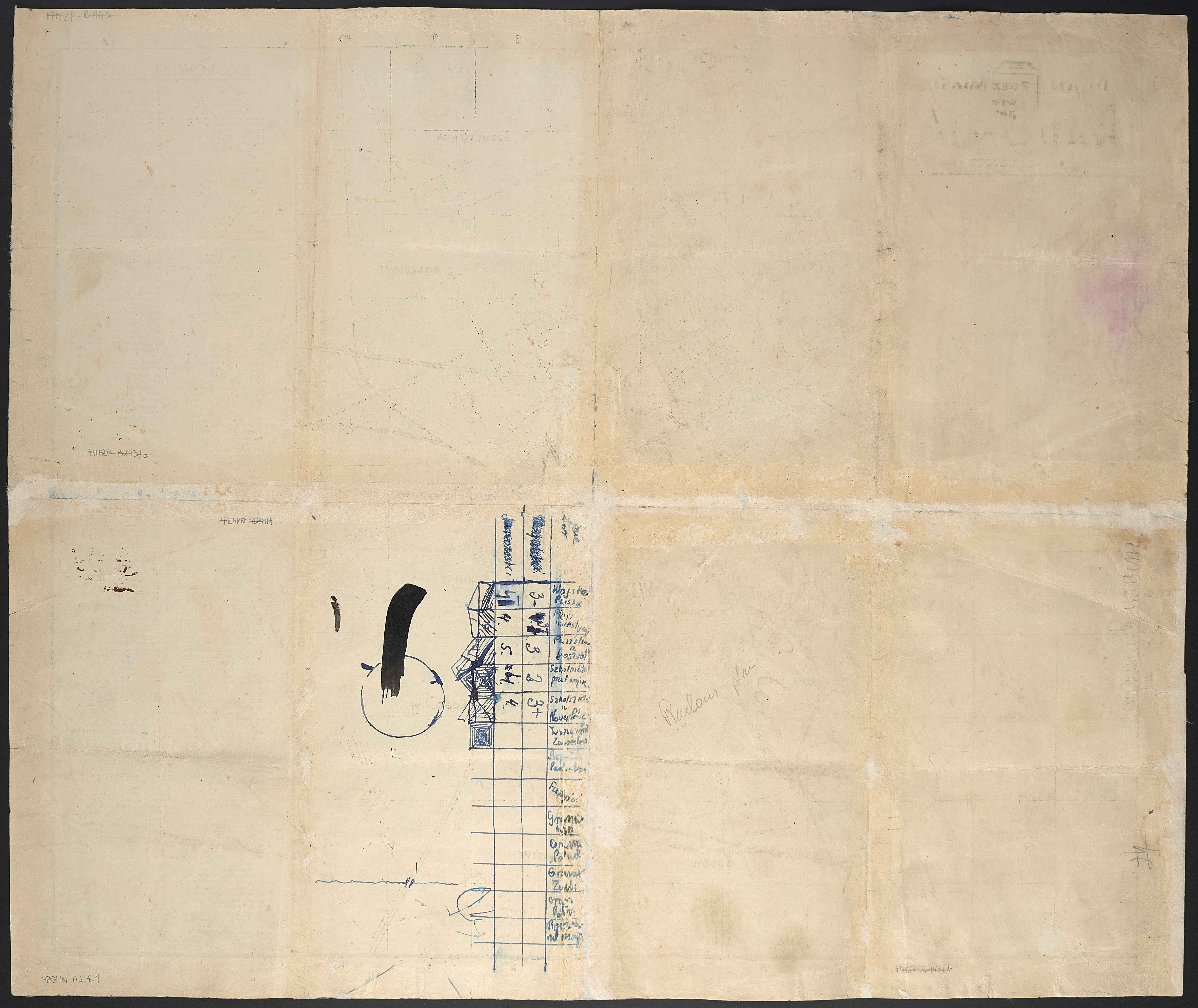
The plan was found by Andrzej Janowski in January 1945 in the apartment of his aunt, Maria Szenuarowa, at Moniuszko Street in Radom. The document was one of the belongings left by German soldiers who had been accommodated in one of the rooms of the apartment since the end of 1944. Andrzej - then a ten-year-old boy who came to Radom after the Warsaw Uprising - became interested in the plan primarily as a cartographic print, difficult to obtain at the time. The ink blotches, and especially the notes on the back of the plan, clearly show this. Only many years later he began to apprehend the significance of the map as a document of the Holocaust (Andrzej Janowski's account in the Oral History Collections of the MHPJ; a publication of an edited version of the conversation, entitled "Flesze", Midrasz 2016, No. 3, pp. 67-70). In 2007, he donated the map to the museum's collection.
Przemysław Kaniecki